This is a life that is fast-paced and ruthless; everyone here is running to get the best output in their life. In order to do that, people have to move from one place to another, that is from city to city or from country to country. A new place means a new area which is unknown to you and filled with strangers. So, in order to make your life a little more comfortable, there are applications that provide you support of telling you the way to wherever you want to get in that area. There are many applications that are available for each type of operating system that is Android, iOS, Windows phone, etc.
One of the most amazing applications made available for Android to light the way ahead of you is an app known as OsmAnd which stands for OSM Automated Navigation Directions. The full form for OSM is Open Street Map. This service allows you to get high-quality and accurate maps. Now the best thing about this application is that it allows you to have maps of the area that you want navigation through on your mobile phones as offline data. The offline feature allows you to generate results for the places you want to get to much faster as compared to all the other applications that require an internet connection each time you want information about a specific area. It should be understood: though downloading the map data allows you to reduce the loading time, there is still the requirement of GPS or the Global Positioning Satellite to get to know where you are. The GPS is actually used to define your current location each time you want to know how far are you from the destination that you have marked.
Get it free from the PlayStore
Get premium version from the PlayStore
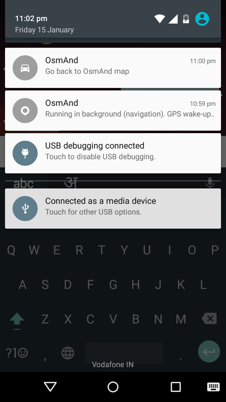
Service started
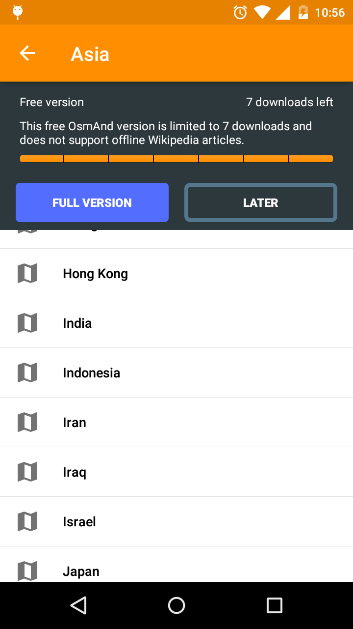
Country selection
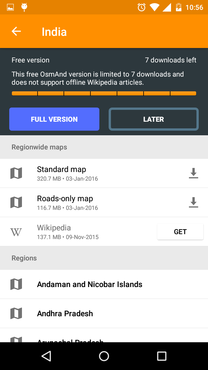
Offline data available for download
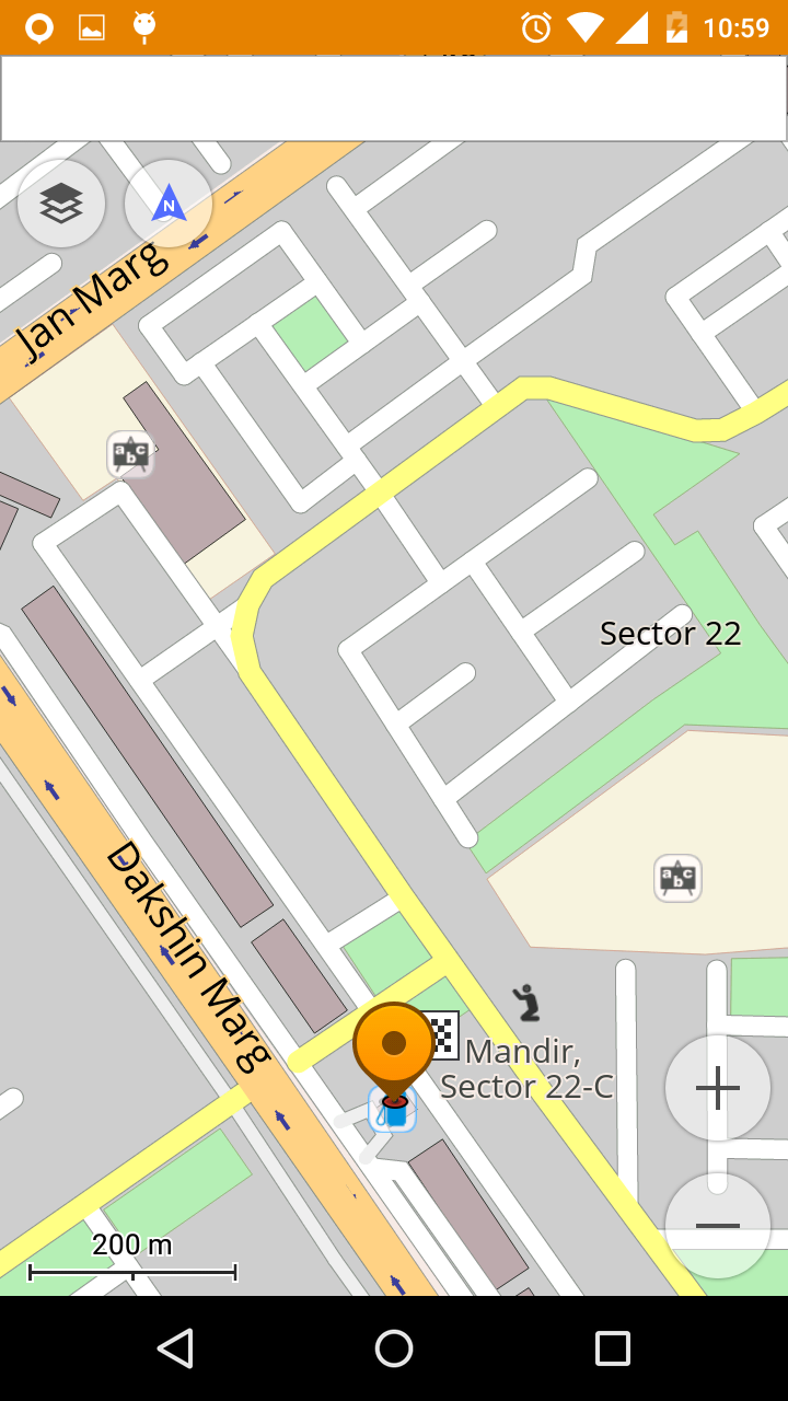
Map offline navigation
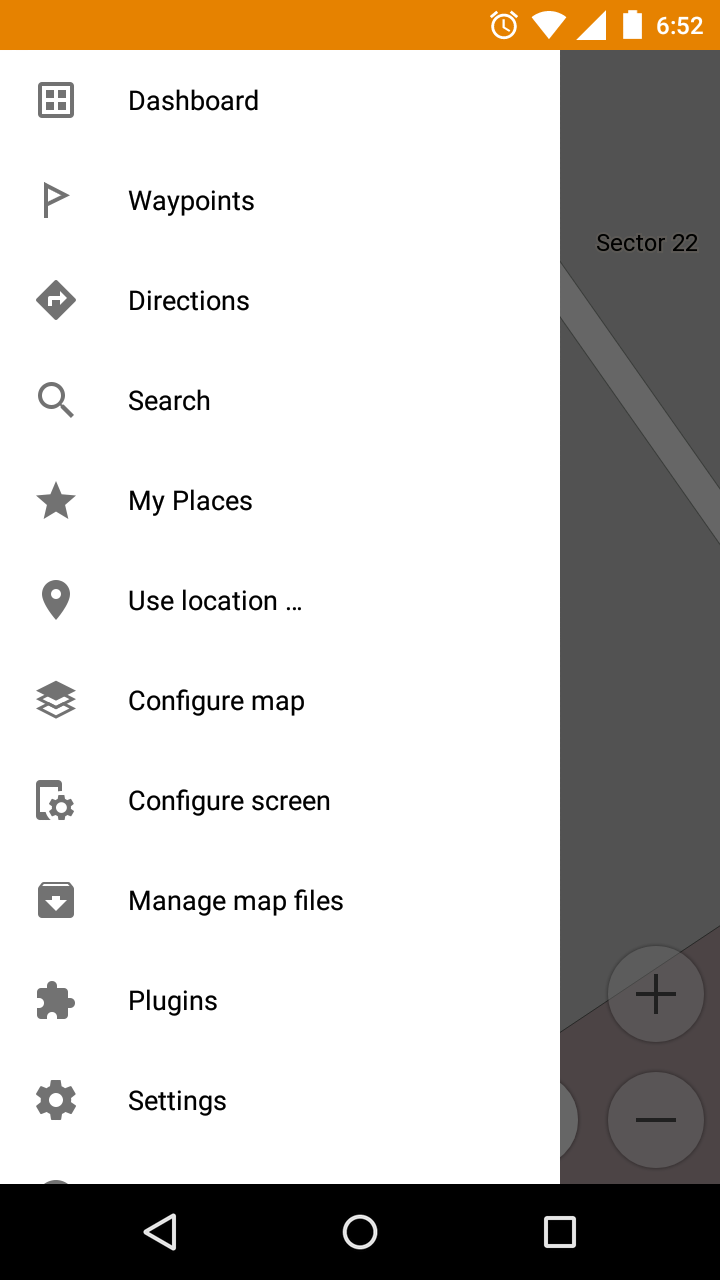
Settings and options available
There are many versions of this application available on the internet. One of them is free, it provides a total of 7 downloads. Seven downloads that I am talking about are the downloads of maps and other data that is required by the application. It should be understood that each download is a map of a country or a country region, which you have to find in the list provided by the application. On the first opening, the app asks which country map do you want to download.There are many versions of this application available on the internet. One of them is free, it provides a total of 7 downloads. Seven downloads that I am talking about are the downloads of maps and other data that is required by the application. It should be understood that each download is a map of a country or a country region, which you have to find in the list provided by the application. On the first opening, the app asks which country map do you want to download.
It should be understood that the app is very cleverly developed as it allows you to download offline maps that increase the performance of the app many folds, also allows you to search for a place that has been pre-categorized. For example, if you require a guide to point you to the nearest petrol station you just select petrol station from the pre-defined categories and the application will show you the nearest one. Other than this, you can search for many points of interest, for example, restaurants near you.
Best suited countries to view in this app:
- Western and Eastern Europe – France, Germany, UK, Spain, Netherlands, and also USA, Russia, Brazil, Mexico.
• New Directions screen: Displays Home and Work destination buttons, previous route shortcut, list of active tracks, search history
• Additional info under ‘Route details’: road types, surface, steepness, smoothness
• Public transport navigation
• New Quick action for show/hide tracks and day/night modes
• Fixed flooded areas in Germany, South Africa, Quebec
• Improved import for KML and KMZ import
• Fixed crashes on opening some public transport stops
• Removed Facebook and Firebase analytics
The application also provides you with high-definition satellite image, obviously taking a little extra time to load (this option requires the internet connection) but still providing you with an output that allows you to understand the geography of that area in a better manner. All in all, I would like to say that if you are the person who is lost in some city and are eagerly looking for an application that could be your own personal guide, than OsmAnd is an application that you would love and will always keep on your mobile device.
OsmAnd
One of the most amazing applications made available for Android to light the way ahead of you is an app known as OsmAnd which stands for OSM Automated Navigation Directions. The full form for OSM is Open Street Map. This service allows you to get high-quality and accurate maps. Now the best thing about this application is that it allows you to have maps of the area that you want navigation through on your mobile phones as offline data. The offline feature allows you to generate results for the places you want to get to much faster as compared to all the other applications that require an internet connection each time you want information about a specific area. It should be understood: though downloading the map data allows you to reduce the loading time, there is still the requirement of GPS or the Global Positioning Satellite to get to know where you are. The GPS is actually used to define your current location each time you want to know how far are you from the destination that you have marked.
Price: $10
Price Currency: USD
Operating System: Android
Application Category: Map
5